Llangynwyd is probably most famous now as the burial place of Ann Thomas, the ‘Maid of Cefn Ydfa’, and her poet lover wil Hopcyn. (More about them at http://en.wikipedia.org/wiki/Ann_Maddocks ). But in the Middle Ages it was famous as the shrine of the Holy Rood of Llangynwyd, a carving of the Crucifixion that was so vivid it was believed to be able to perform miracles. People went there on pilgrimage, the poets wrote in its praise.
We can still trace many of the routes pilgrims would have taken to get to Llangynwyd. One route came over the hills from the east, and ran between Llangynwyd and the even more famous shrine of the Virgin Mary at Penrhys. One route came from the coast at Margam, where the Cistercian monks had custody of the shrine. And one route came from the south, from the rich farmland of the Vale of Glamorgan. This was the route called the Ffordd y Gyfraith, the ‘Road of the Law’, because it was also the route that officials took, travelling from the lowlands to the wild hill country.
You can still trace these routes on the ground. They are marked by lines of hollow trails, worn into the hillsides by generations of travellers. The line of the Ffordd y Gyfraith is also marked by the bases of wayside crosses which would have shown travellers they were on the right track. There is one called Croes Antoni on Ogmore Down, one where the Ffordd y Gyfraith crosses the main road at Laleston, and one which marks where the line of the road was diverted to go round Margam Abbey’s Llangewydd Grange.
Old pilgrimage routes still make good walking. The have a sort of resonance, from all those footsteps of people travelling in hope. Looking at the hollow trails worn into the hillside on Mynydd Ty-talwrn, and the little platforms that are all that’s left of peasant cottages and bigger farmhouses, you realise that these empty hills were once home to a thriving and complex society.
I’m working with Merthyr Mawr and Laleston community councils on a circular route round their villages, looking at the heritage of early Christian carved stones and later monastic granges (more on that at https://www.heritagetortoise.co.uk/2013/11/laleston-stones-trail/ ). Part of the route of that goes along the Ffordd y Gyfraith. More, the church at Laleston has a very strange medieval tombstone with three crosses on it which may be based on the design of the rood at Llangynwyd, showing the two thieves as well as Christ on the cross .
So taking the route north from Laleston to Llangynwyd is a good idea for all sorts of reasons. It isn’t entirely straightforward … for the first sections of the route and their problems see https://www.heritagetortoise.co.uk/2013/11/laleston-to-parc-slip/ and https://www.heritagetortoise.co.uk/2013/11/heritage-trails-again-2/ . But it still looks doable. So taking advantage of a break in the rain on Thursday, Cara and I headed back to Parc Slip, walked up to the ridge and explored the footpaths down to Llangynwyd.
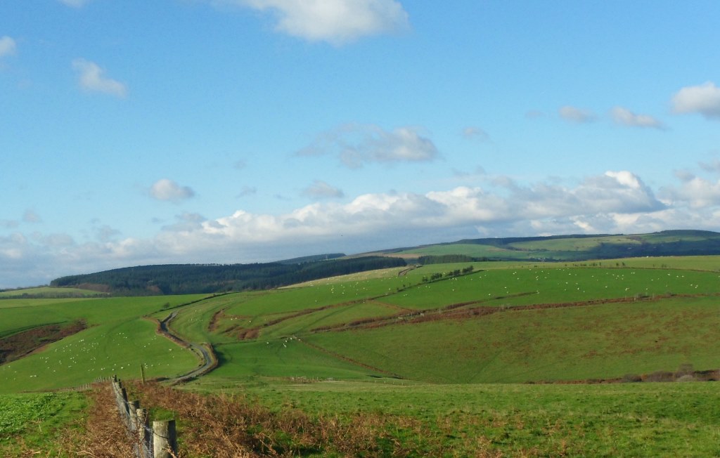
The line of the Ffordd y Gyfraith clearly went along the hollow trails you can see coming down the Glamorgan Ridgeway from the radio mast.
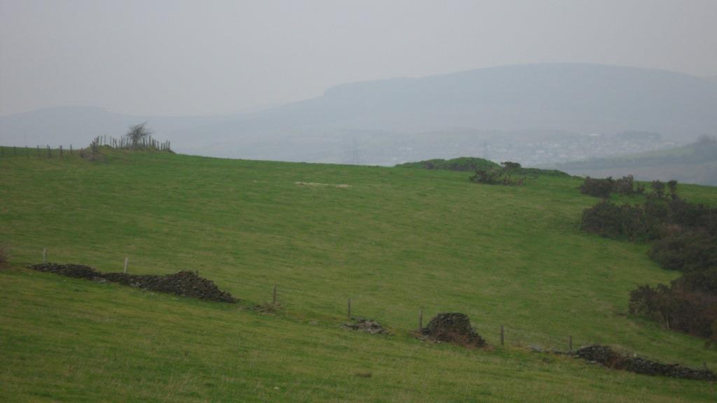
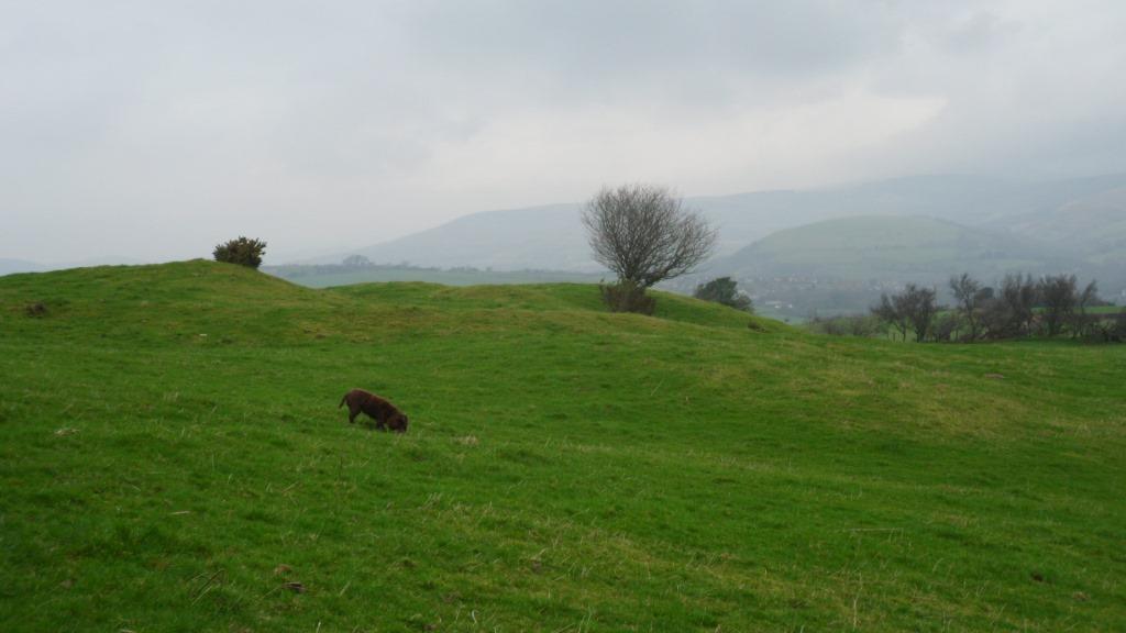
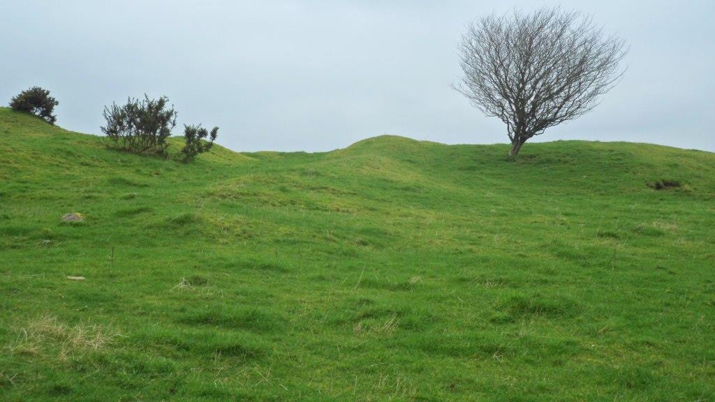
At this point the modern road goes west of the old track. In about half a mile you take a waymarked footpath to the right. Bear left across the first field, heading for an old gatepost. Ahead of you on the skyline are the earthworks of a big complex of ruined buildings.
This is called ‘Farmstead’ on the modern OS map but older maps call it the ‘British Residence’. When the archaeologists Cyril and Aileen Fox were surveying this area in the 1930s, they thought this and the house platforms on Mynydd Ty-talwyn were the remains of early medieval farmsteads. They eventually decided they were later, probably built in the twelfth and thirteenth centuries when the climate was better and you could farm the hills. When the climate got dramatically worse in the early fourteenth century, there were famines followed by the Black Death and most of these settlements were deserted. Recently, an American archaeologist has revived the idea that this was an early medieval settlement. My friends in the Archaeological Trust say it is much, much later, possibly post-medieval. But the hollow trails of the Ffordd y Gyfraith run through the site, and seem to go through some of the buildings –
so my guess is that it’s medieval, and that it was deserted by the time the pilgrimage became popular in the fifteenth century.
Paul Davies has sent me some splendid aerial photos which make the whole site much clearer.
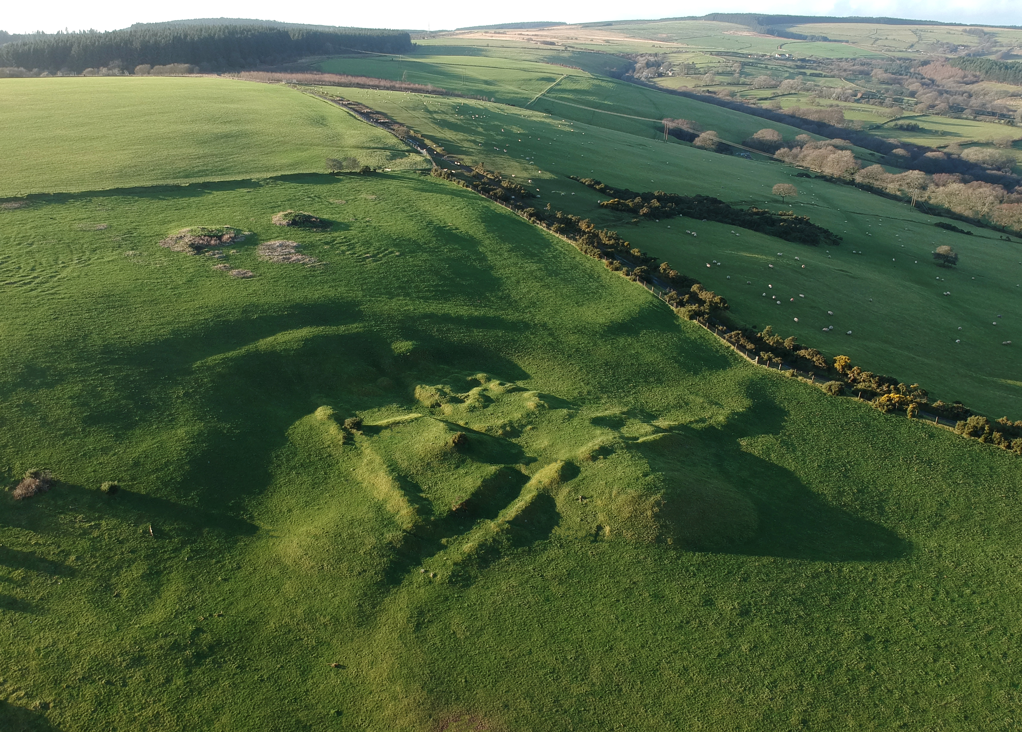
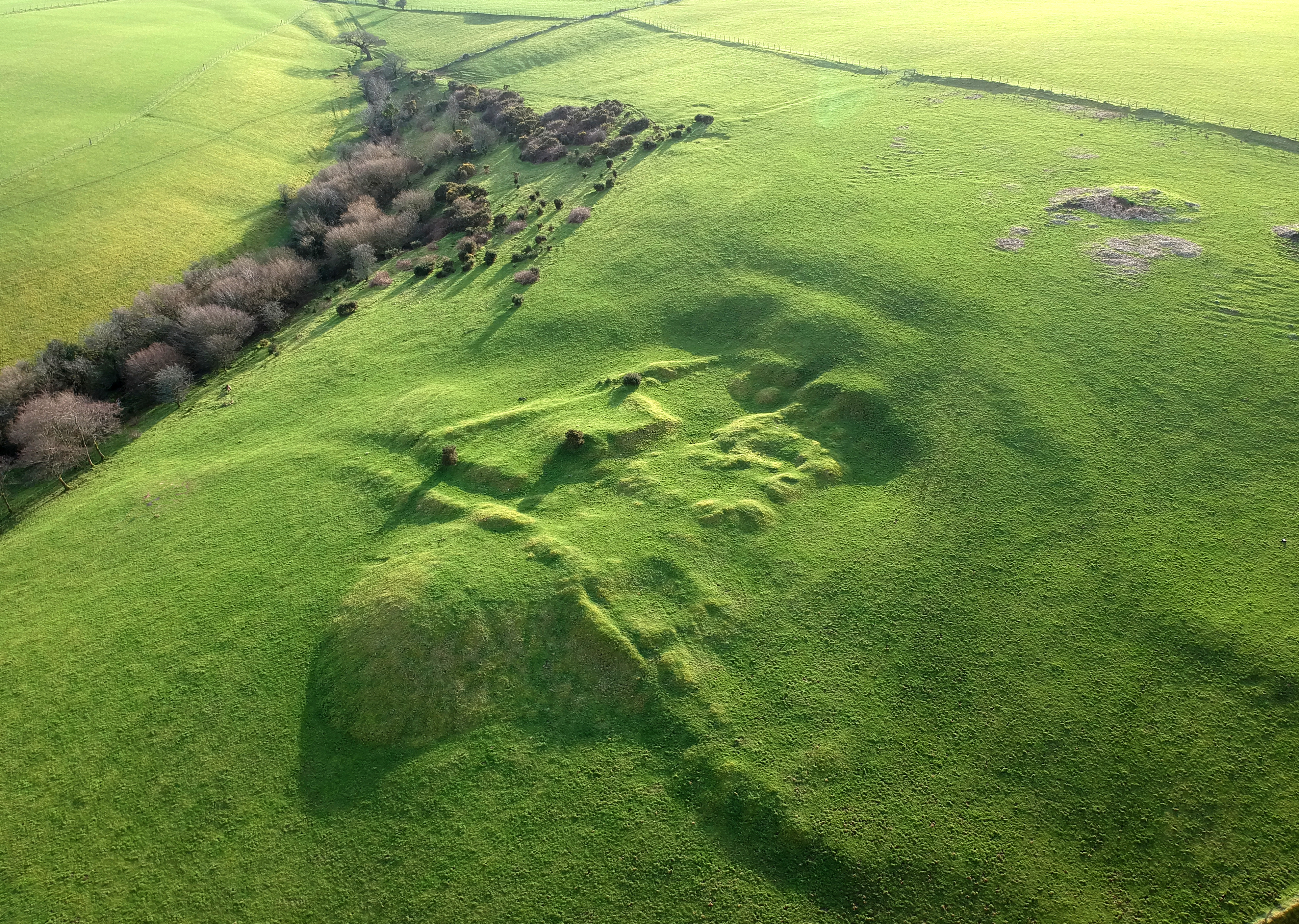
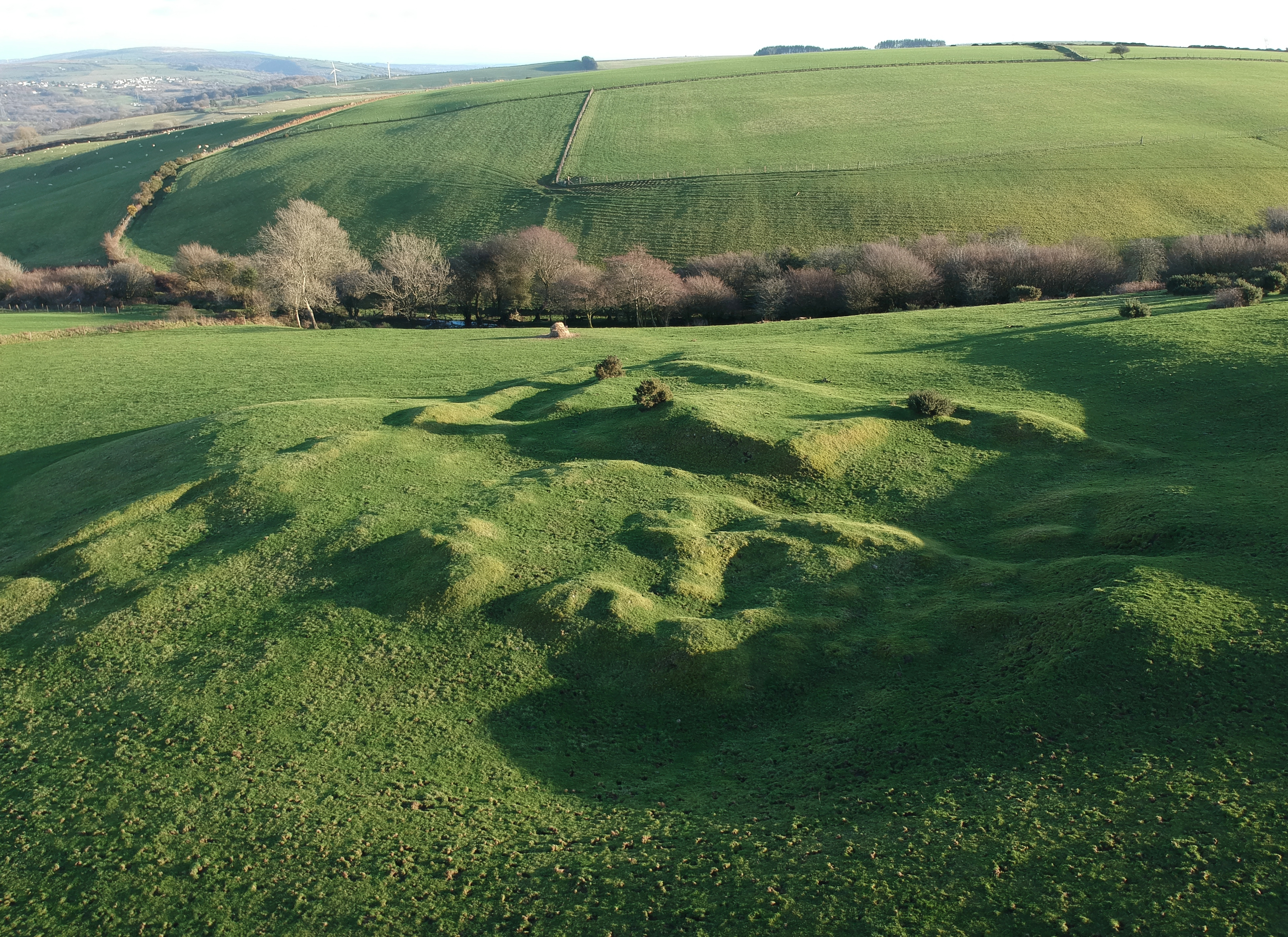
Paul’s survey suggests the site was first two house platforms, one large and one small, and that the farm complex was built over these. Meanwhile, in an article in the 2019 volume of Morgannwg, Stephen Davies has identified the site as the Nant y Dulles which was the home of the medieval steward of Tir Iarll. This really needs a blog post of its own – meanwhile Paul Davis’s aerial photos are wonderful.
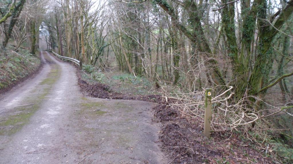
Walk across the next field to the head of a little valley. Walk down a rough farm track with the stream on your left, then cross the stream and walk up the track to Maescadlawr farm. Take the footpath to the left just past the farmyard and bear right across two fields. Go through a gate and cross the metalled lane. Walk down the lane towards Bryncynan farm. Just before the farmhouse, the track bears right and goes downhill. At the bottom, cross a stream then turn left on the roughly metalled track to Gadlys Farm. At the farmhouse take the track to the right and look out for an overgrown but waymarked footpath down to the right.
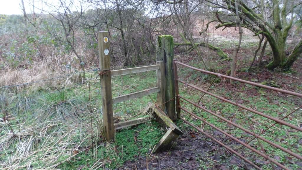
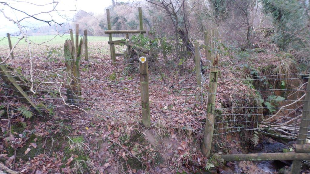
This takes you across a bridge. Go over the rather battered stile to your left.
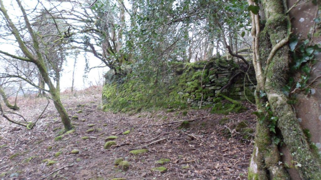
From here a faint path runs along the right bank of the stream and into the woods then bears up to a mossy and tumbledown stone wall.
When you reach the corner of the wall, turn right and follow the faint path up the field towards the top right corner, then follow the field boundaries to your right up to the minor road. Once you go under the line of pylons you will see the whitewashed tower of Llangynwyd church ahead of you.
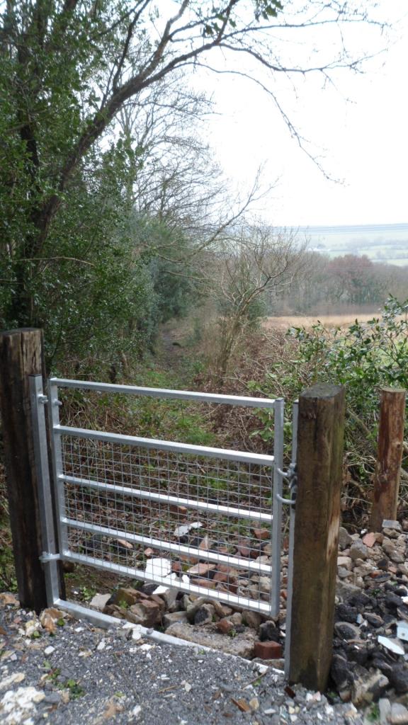
So far, so good. Merthyr Mawr to Llangynwyd would be a good day’s walk: you could find a local B&B then walk on along the suggested Cistercian Way route to rejoin the coast at Margam. But if we want a circular walk back to Parc Slip or Laleston there may be problems. You can retrace your steps along the minor road and take an earlier waymarked footpath along a track to the right. After a few yards the footpath goes left – there’s a nice new gate
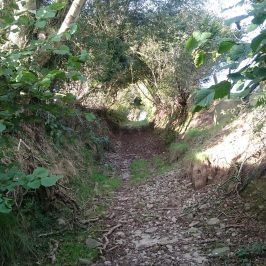
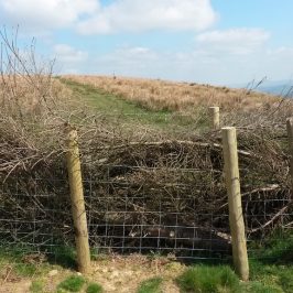
But the lane is very heavily overgrown, the fields are boggy, there are some dodgy fences …
Bridgend CBC have done good work on stiles but once the path gets into the woods it disappears. There should be a footbridge leading to the lane from Gadlys farm but I couldn’t find it. In the end we took a path to the left, and went back to Parc Slip the way we came. I need to have another look at this one from the other end. If we could clear and waymark that bit of the path through the woods, then clear the blocked lane near Ffynnon Iago, we’d have a good circular walk from Parc Slip.

2 Responses